

No products


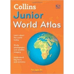
Collins Junior World Atlas
New product
Specifically designed as a reference for 9- to 11-year-olds, this atlas has topographical based mapping, which helps the young geographer understand the processes which take place during the formation of the earth’s landscapes. Photographs, data files, detailed map keys, and scale information on each map support the reference mapping, for maximum clarity and accessibility. Geography. Age 8-10.
3 Items
Warning: Last items in stock!
Data sheet
| Book Format | Paperback |
| Publishers | Collins |
| Age Range | 8-10 Yrs |
| Learning Category | Mid Level Learners II |
More info
Specially selected topic maps give additional information linking to knowledge and understanding of specific places. The atlas is organized into sections covering the UK, Europe, the world, and continents, with larger scale maps of countries and regions popular for focus studies. A variety of carefully selected scales are used to allow for comparison of size and distance in different countries. Tables of key data include an ecological footprint for every country, and a full range of interactive flipcharts to support this atlas are available as downloadable files.
Reviews
No customer reviews for the moment.
30 other products in the same category:
-
Totally...
₦ 1,500
-

The First...
₦ 1,500
-
Florence...
₦ 1,000
-
The Amazing...
₦ 1,000
-
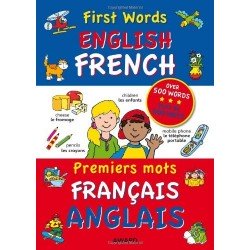
First Words...
₦ 2,000
-
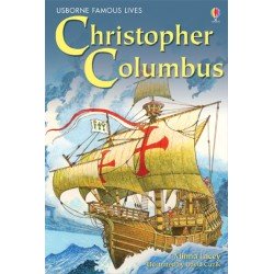
Christopher...
₦ 1,000
-
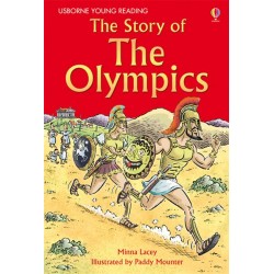
The Story...
₦ 1,000
-
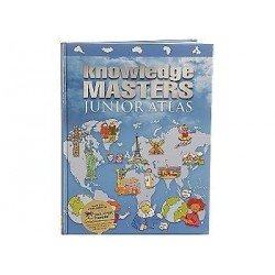
Knowledge...
₦ 2,000
-

Knowledge...
₦ 2,000
-
Knowledge...
₦ 2,000
-
Knowledge...
₦ 2,000
-
Longman...
₦ 3,000
-
Samurai
₦ 1,000
-

The Holocaust
₦ 1,000
-

William...
₦ 1,000
-

Winston...
₦ 1,000
-
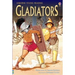
Gladiators
₦ 1,000
-

The Story...
₦ 1,000
-
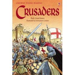
Crusaders
₦ 1,000
-
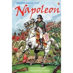
Napoleon
₦ 1,000
-

The Vietnam...
₦ 1,000
-
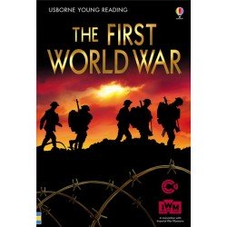
The First...
₦ 1,000
-

The Second...
₦ 1,000
-
The New...
₦ 500
-
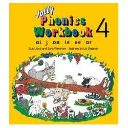
Jolly...
₦ 850
-
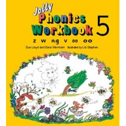
Jolly...
₦ 850
-
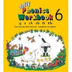
Jolly...
₦ 850
-
Jolly...
₦ 850
-
Jolly...
₦ 850
-
Jolly...
₦ 850